
Walk one; Windermere to Ambleside via Orrest Head and Troutbeck
About 8 miles easy to moderate walking.
The path to Orrest Head from Windermere is easy to find. It starts on the main A591 road just at the top of Windermere town by the train station (it’s located between the entrance to Windermere School and a hotel…you can’t miss it).
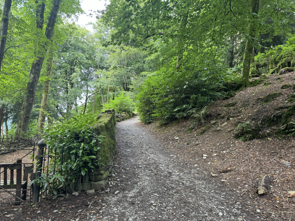
The path gently climbs following a wooded pathway. The climb up to Orrest Head is part of the National Park’s “Miles without Stiles” scheme, so this part of your walk is completely accessible for those with pushchairs and mobility scooters.
Staying within the Ellerary Woods, the path head northwards as it heads up Elleray Bank.
After 20 minutes or so you feel as if you are reaching the Orrest Head. You are offered several options to reach to top: the main fully accessible path is slightly longer but there is also another steeper more direct route.
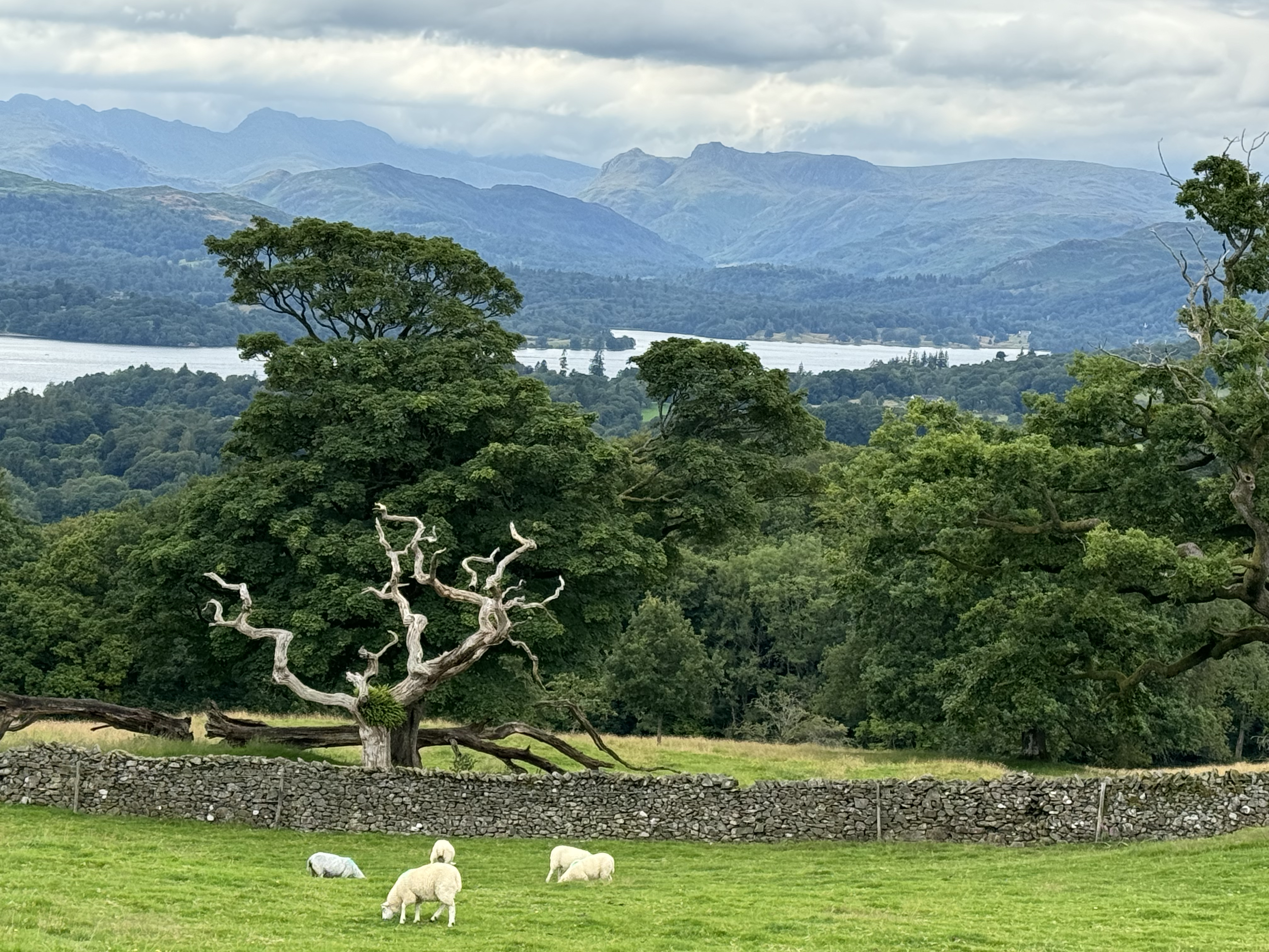
When you reach the top it may be too early in your walk to rest and eat your sandwiches but it’s worth pausing to take in one of the best Lakeland views on offer.
At 238 metres Orrest Head is hardly the highest Lakeland peak. Even so, it packs a punch, offering a tremendous panoramic view of Lake Windermere itself and the central fells behind it. From left to right you can clearly see, Old Man of Coniston, Scafell Pike, Great Gable, the Langdale Pike, Fairfield and Wansfell.
From the summit there are two path options. Take the left hand one (which proceeds in an almost straight line from the path you took to reach to summit).
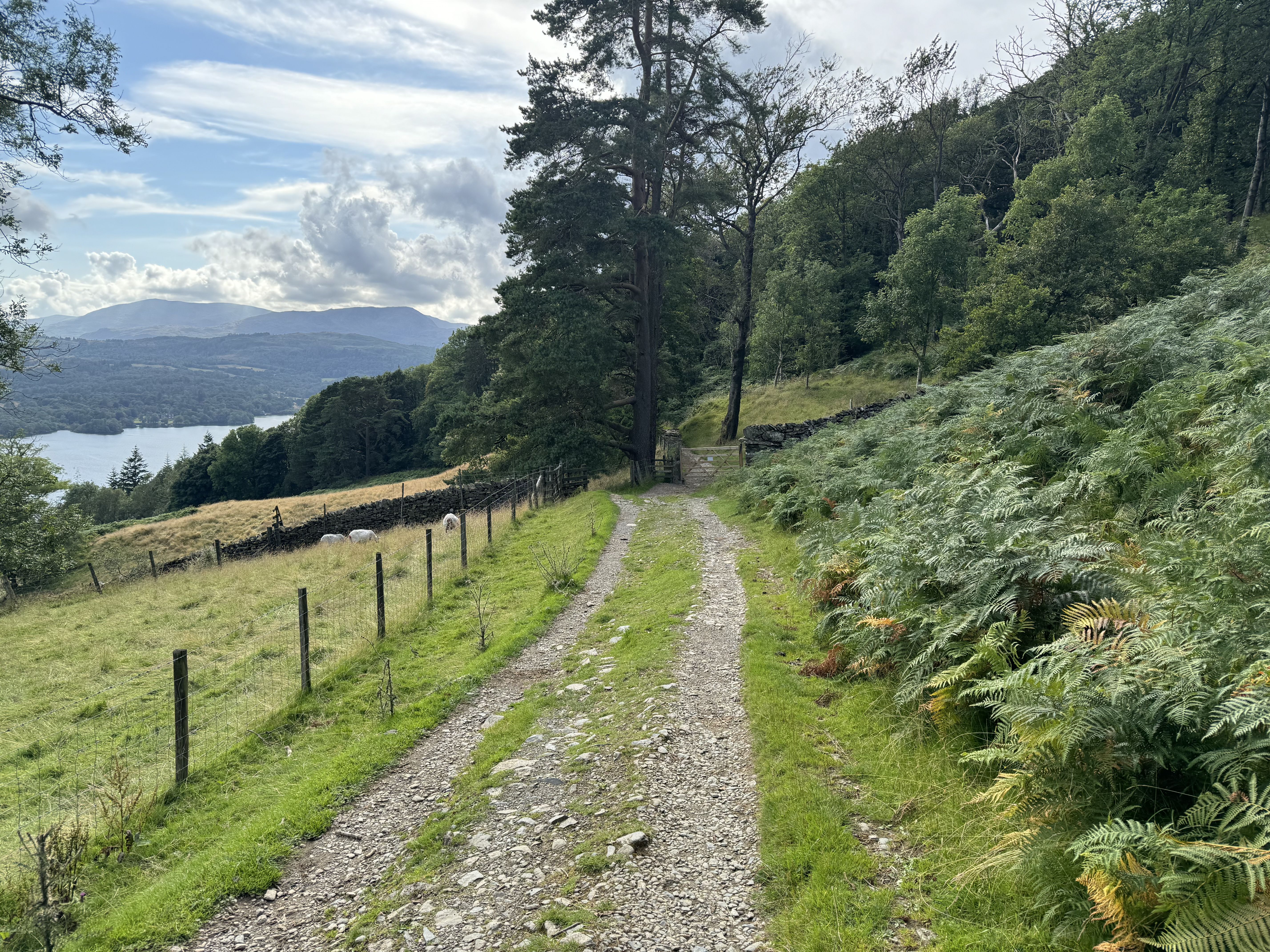
After a short descent the path splits again. And again, take the left option. The landscape opened us. You are passing through open land. There will probably be a few sheep to keep you company.
Follow the path way as it bobs up and over the contoured land. Stay to the right of the woodland you see in front of you and follow the yellow signed pathway.
When you reach a track, take the pathway to the left. This dips down to the edge of another woodland and then turns sharp right, allowing you to pass through trees before reaching a quiet road.
Turn left. Very soon you will reach Crosses Farm where you need to take the signed path (to the right).
The path now crosses over Howe Hill as it heads towards the farm building at Far Orrest.
Here, keep left. You can now begin to see Troutbeck village over the other side of the valley.
The path descends and then crosses another quiet road before joining the busier A592.
Keeping the same direction (ie. go right), follow the road using the footpath on the other side of the road. After 400 metres-or-so there a clear signpost inviting you to turn left .
This path dips down to a very picturesque bridge over Troutbeck River.
There’s now a short but sharp climb up to the edge of the village itself.
When the path meets the road turn right.
The village is pretty as a picture even though it’s surprisingly long and straggly.
There are two refreshment options. First the Old Post Office Tea Rooms selling refreshments and ice cream.
Further down the road you will find The Mortal Man pub which has a great south facing beer garden with fantastic views across the valley.
Whether you’ve stopped at the Old Post Office or not, this is the starting point for the second stage of your walk onto Ambleside.
Just by the Old Post Office follow a track uphill. This is called Robin’s Lane. It climbs and skirts the approaches to Wansfell.
The path bears right and then straightens out. You now have glorious views over Windermere.
After about a mile or so, you leave the track (which veers right and heads towards Wansfell). Instead, keep heading straight ahead along the signposted path to Ambleside.
You are now in rolling open farmland. You cross a shallow ford and then climb slightly before dipping down to a beck. The path crosses a bridge and then climbs to a farm at High Skelghyll.
You now enter Skelghyll Woods and slowly descend towards Ambleside.
Soon you can see the lake, and then buildings around the quayside, through the trees. You now know that Ambleside itself is fast approaching.
The path merges with Skelghyll Lane which take you onto Old Lake Road and then Lake Road itself near the centre of Ambleside. There’s a regular bus service throughout the year which will take you back to Windermere railway station.
Walk two; An easy 4 mile walk along the West Shore of Lake Windermere
From Windermere Train station take a 15 minute bus ride to Bowness Pier. From Bowness take the 10 minute Windermere chain ferry (£1.15 for foot passengers to ferry house on the West shore of Lake Windermere).
Follow the easy low level track north for four miles along the lake shore to Wray. There are fabulous views over Lake Windermere.
There are cafes at the Claife Viewing Station and Wray Castle.
From Wray you have several options, you can retrace your steps, or take a ferry back to Bowness from the small jetty at Wray. Alternatively you can catch a ferry into Ambleside (the last ferry leaves from Wray around 5.30).
There are several options for refreshments at Ambleside include YHA, Wateredge Inn, Waterhead cafe or Inn. This is a lovely spot to watch the sun go down before getting the bus back into Windermere.


You may also enjoy;