We parked up on the road that links the two wonderfully named villages of Lamplugh and Mockerin.
There’s very little traffic. It’s a peaceful Lakeland road. This is, after all, border country. And this border is particularly quiet. Its windy contours demarcate the western edge of the Lake District National Park.
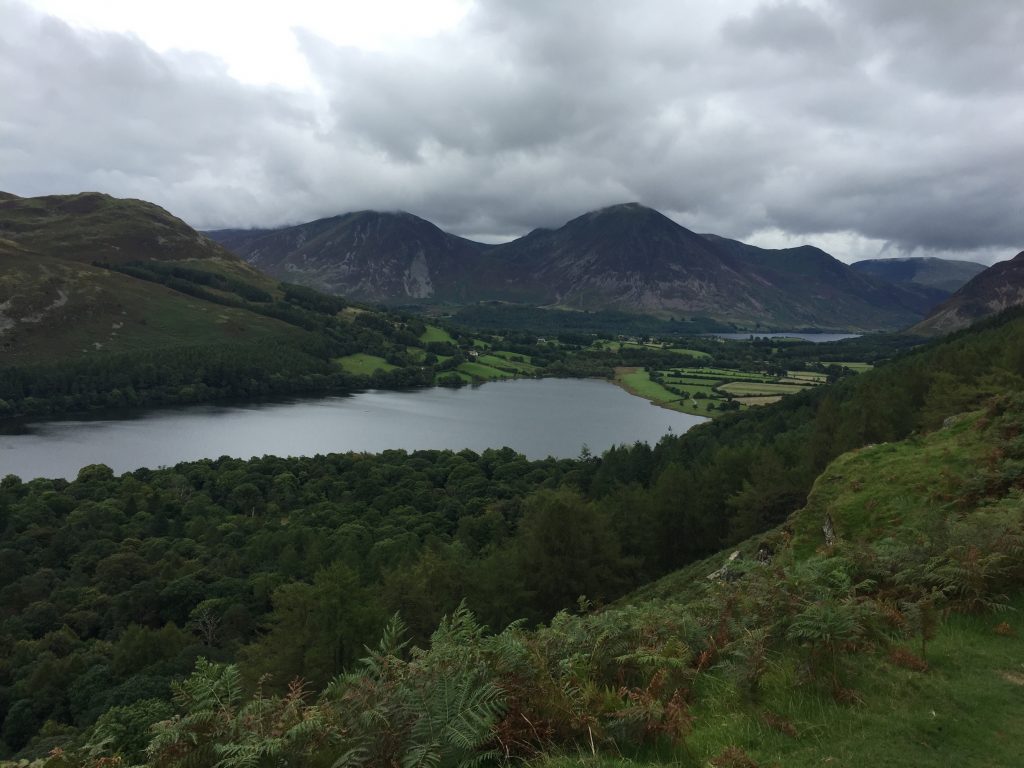
After only a mile on the clock – before the road splits at Fanges Brow Farm – we parked up on the roadside, with the rather majestic Loweswater Fell rising before us to our right.
We lock up and boot up before setting forth. We follow the path as it slowly climbs higher up the fell. After twenty minutes the path becomes wooded as it skirts a steeper incline.
Below, through the trees to our left, we can see the water of Loweswater itself glint and glimmer in the light breeze.
After the path turns sharply inwards and then outwards following the contour of the fell, we are presented with two options. Rather than staying on the hillside track we choose the left-hand fork that dips down through the woods.
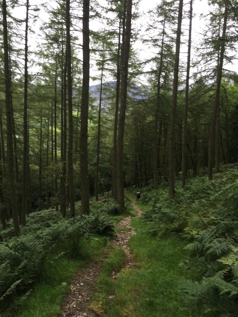
The path is straight and steep and soon leads us to the water’s edge.
The path then follows the tranquil waterside until reaching the corner of Loweswater near Watergate Farm.
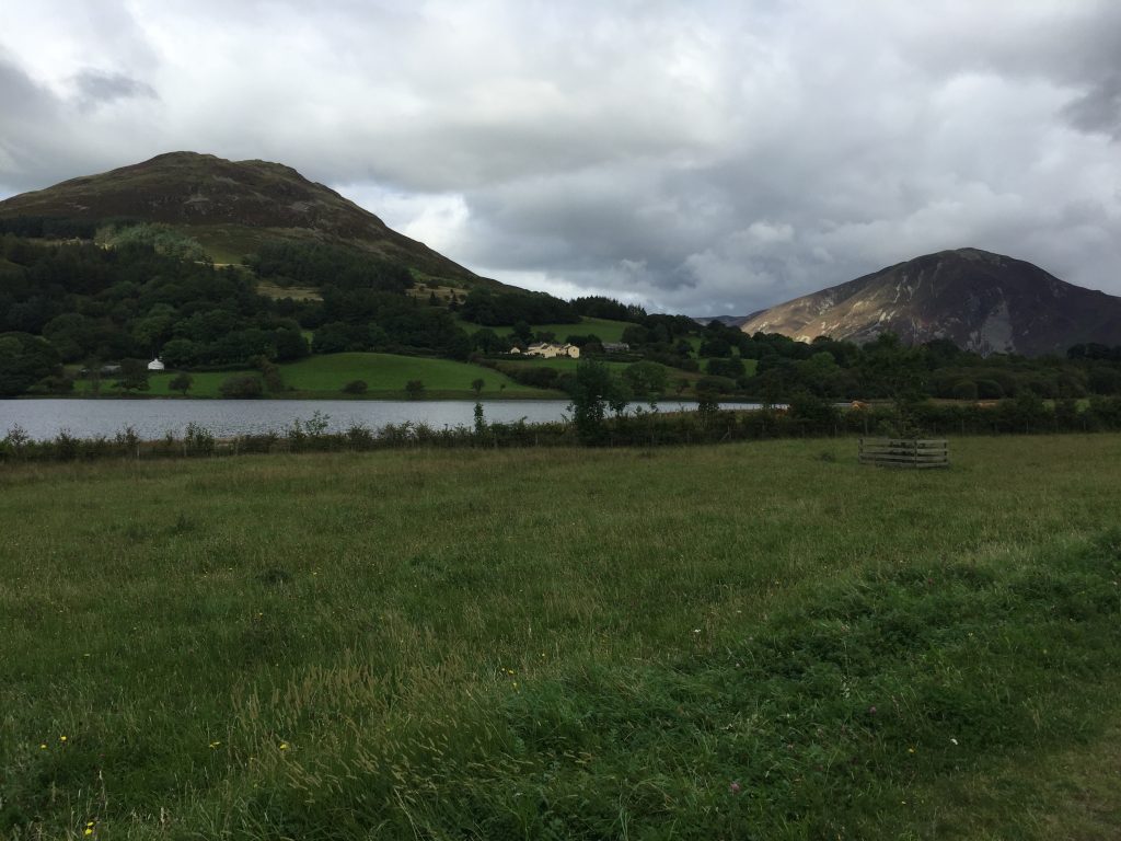
We keep to the left and within ten minutes we reach Loweswater village, an idyllic spot that looks eastwards along Crummock Water.
Refreshments are available at the Kirkstile Inn where warm fires, hearty food and local beers are all available in abundance.
We can’t stay long though.
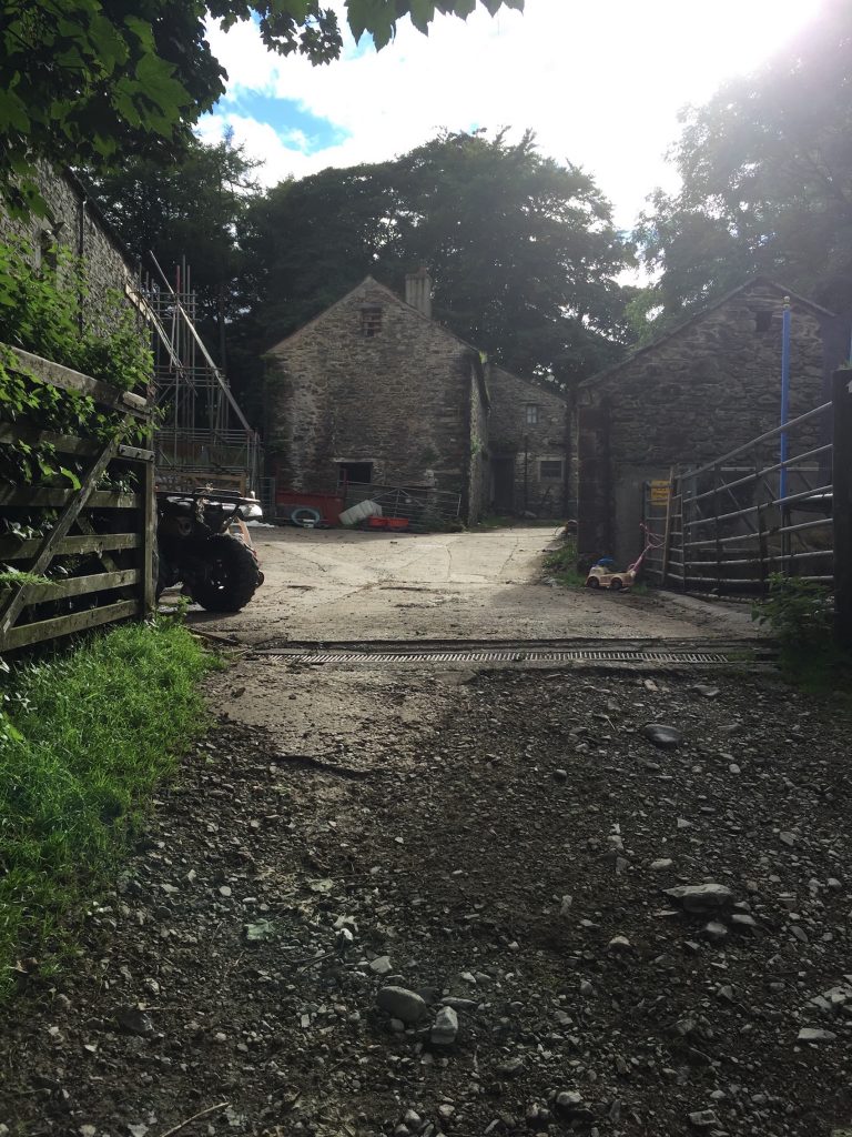
Our route take us to Watergate Farm, owned and rented out for holiday lets by the National Trust.
We pass through the farmyard and follow the path which soon begins to climb before reaching High Nook Farm.
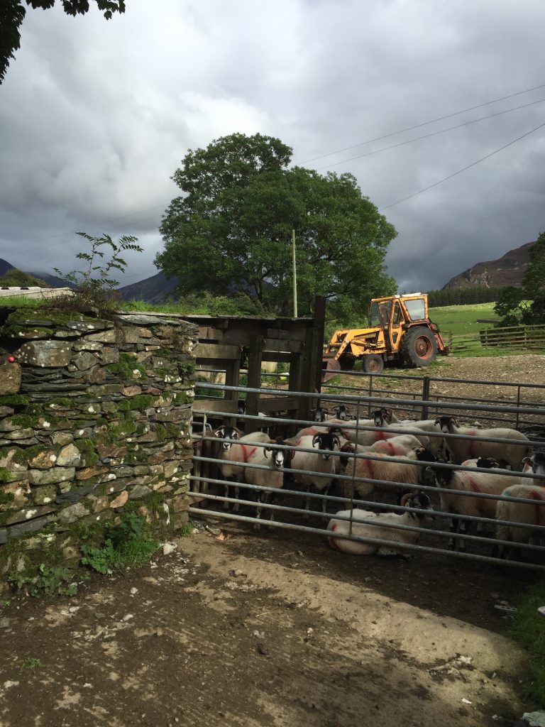
We carry on, crossing High Nook Beck and then walking up into a steep valley that seems to close in as we venture further.
The path zig zags up steeply as we quickly gain height.
We assume that the Blake Fell’s summit is not much further. The path swings to the left as it passes Fothergill Head, and then follows a fence along the brow of the hill as it climbs further.
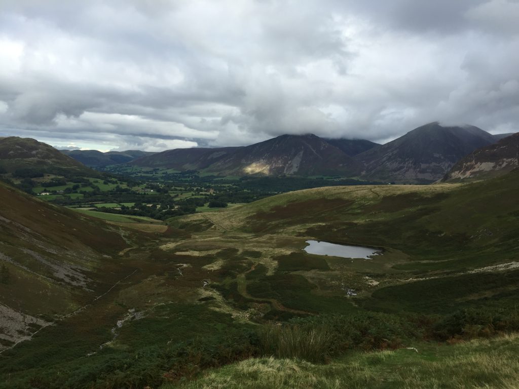
Eventually we reach Blake Fell summit.
The views are impressive. Loweswater, Crummock Water and Buttermere can be seen to the North and East. Looking South and West the Cumbrian coastline is clearly defined. In the distance the hills of Dumfries in Scotland can be picked out against the skyline and faraway clouds.
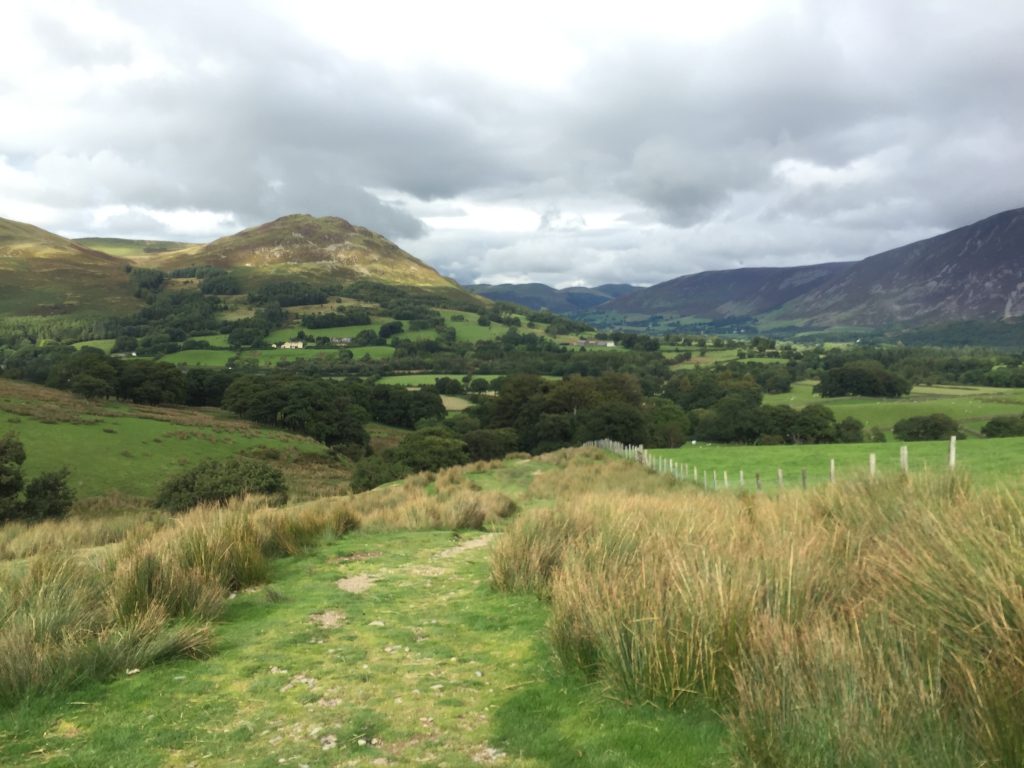
It’s cold and time to head back. We are aiming for Lamplugh village, somewhere West of our current position. The site of the village itself is blocked so we take our chance and follow one of several steep paths leading off the summit.
Our chosen path is steep and uneasy underfoot. The vista immediately below us soon opens up. We can see the distinctively shaped tarn of Cogra Moss which tucks in on the side of the semi forested Lamplugh Fell.
We decide to follow the track through the pine forest before joining another path along Wisenholme Beck.
The Beck widens and eventually leads into Lamplugh village near the church.
We now rejoin the road to Mockerin and fifteen minutes later return to our starting point beside our car.