
10 -12 miles (approx).
Cornwall’s historic one-day walk from the north to south coast. The route is part of the famous Camino de Santiago, the ever-popular medieval pilgrimage route to the Cathedral in Santiago de Compostela in north west Spain.
Officially the route starts at Lelant where pilgrims from Wales and Ireland used to disembark. Apparently, they preferred to walk across to Cornwall’s south coast rather than risk sailing the treacherous waters around Land’s End.
We were staying in St Ives, just a mile or so to the West, so we started our walk from there.
We took the footpath from the main long stay car park at the top of the town (next to the sports centre).
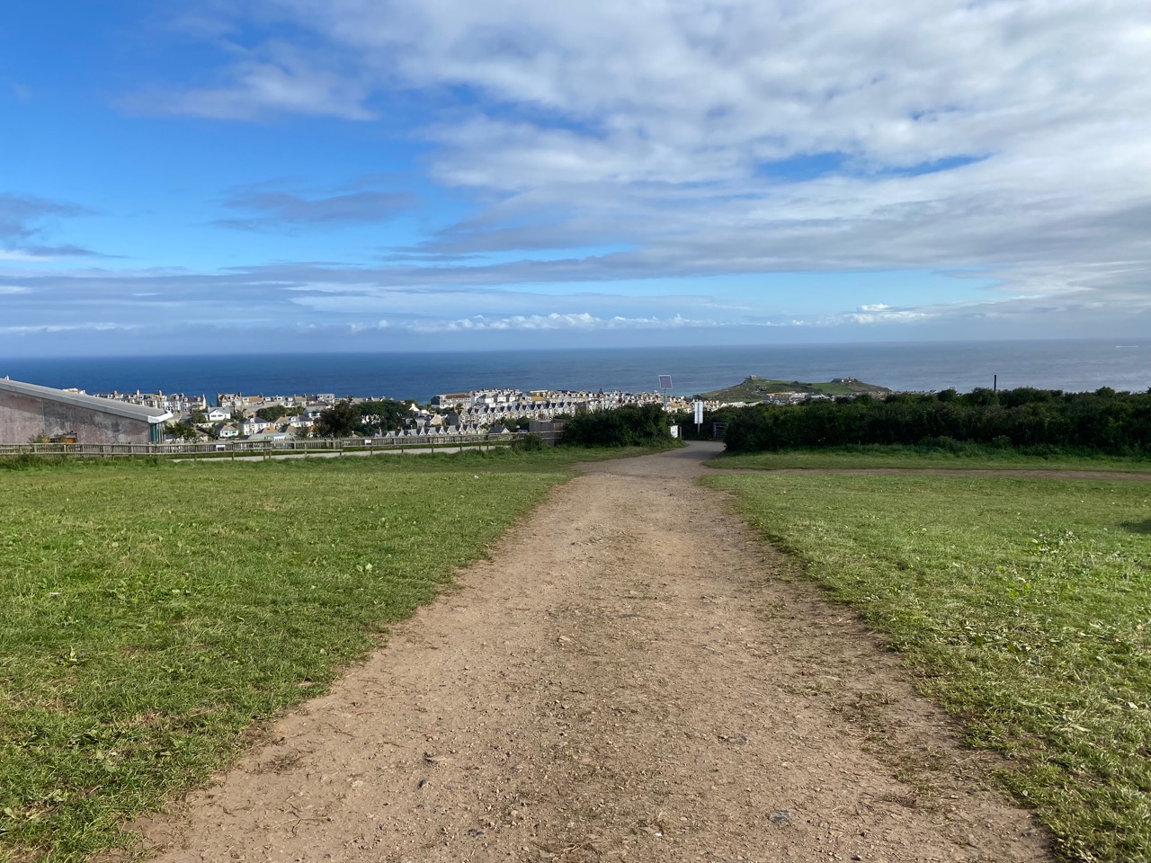
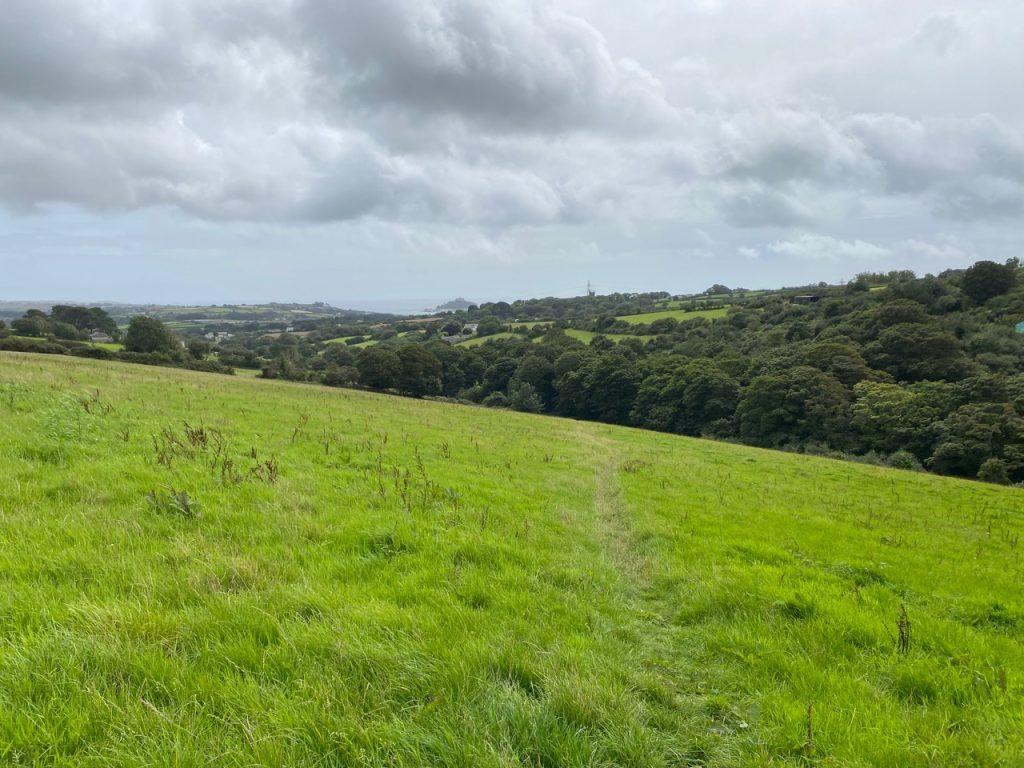
The footpath skirted the edge of the town. Just after passing a bowling club there was a junction. We had a choice. We could have carried straight on, along the path, or turn left along the road.
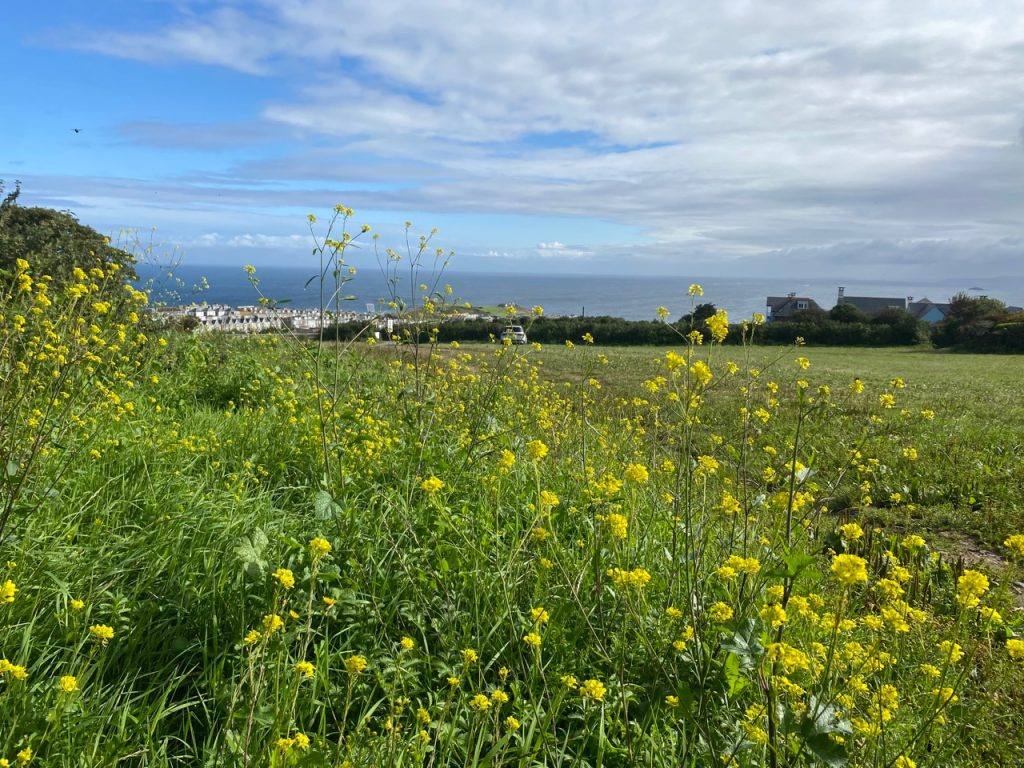
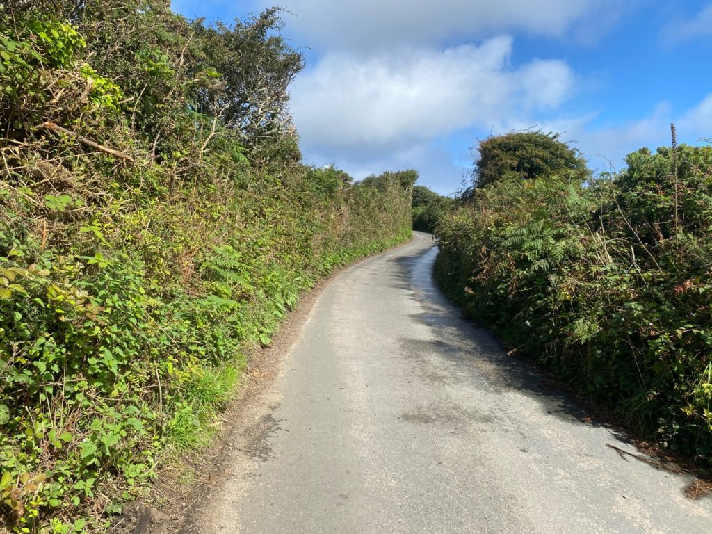
We took the latter option. The road was a quiet banked lane. No cars passed us as its route slowly swooped southwards.
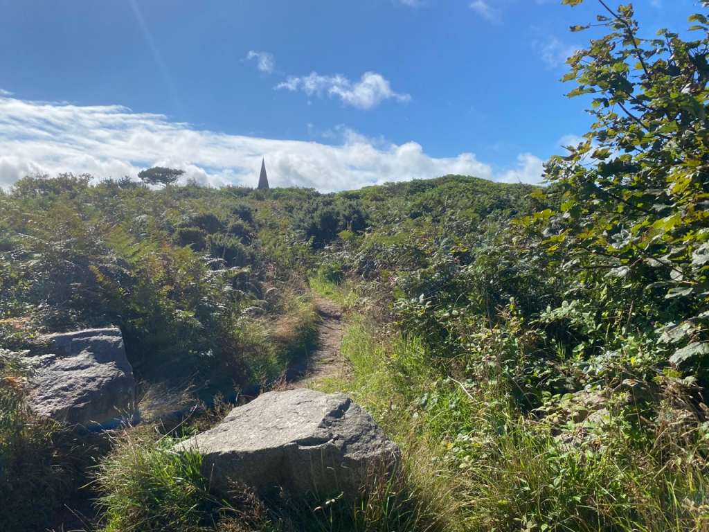
After passing Hendra Farm what we thought was a church spire came into focus.
It was not a church. It’s the Knill’s Monument. Built on a hill it is a 50 foot granite obelisk built in 1782 as a mausoleum by John Knill, the Mayor of St Ives.
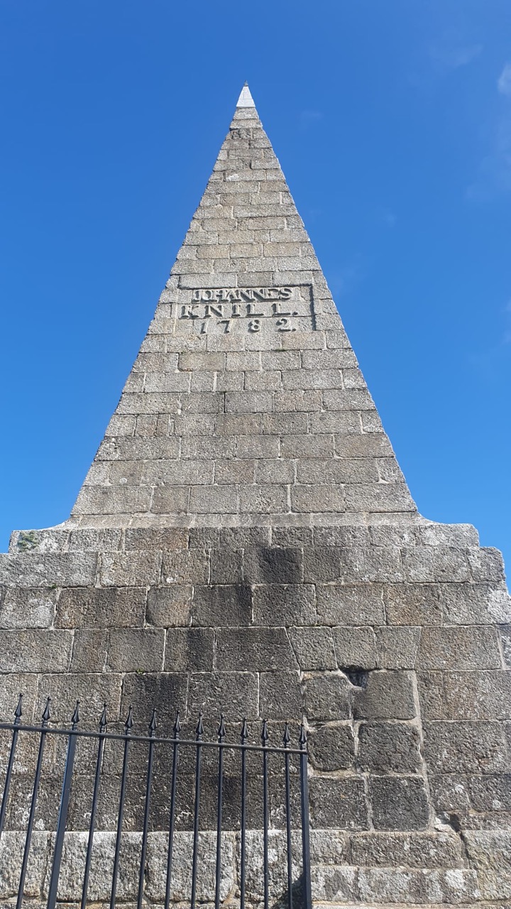
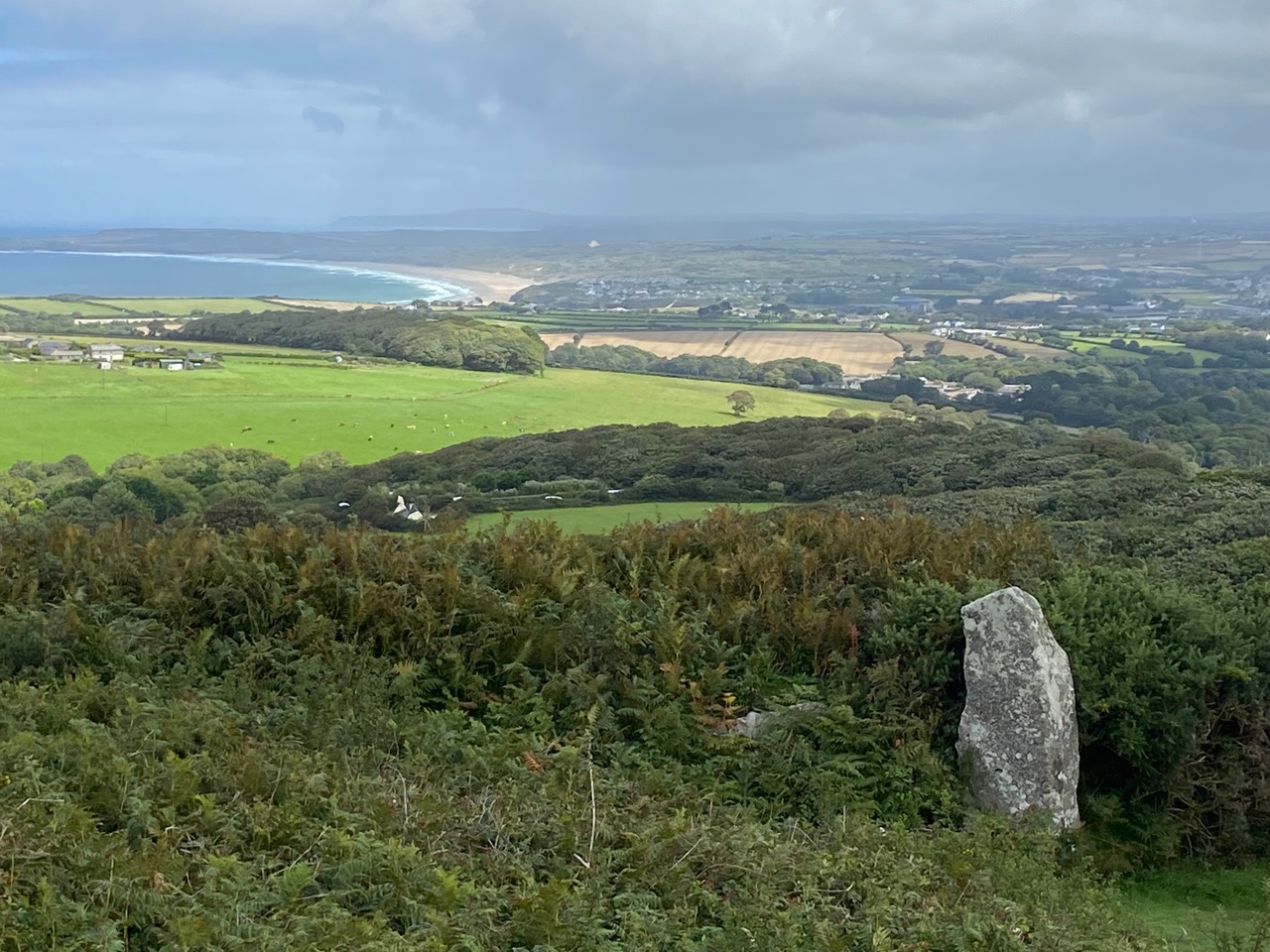
From this striking and unusual monument we enjoyed the views over St Ives Bay and then followed the bracken-edged path southwards.
When we met another lane we turned right.
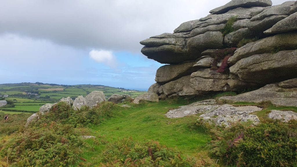
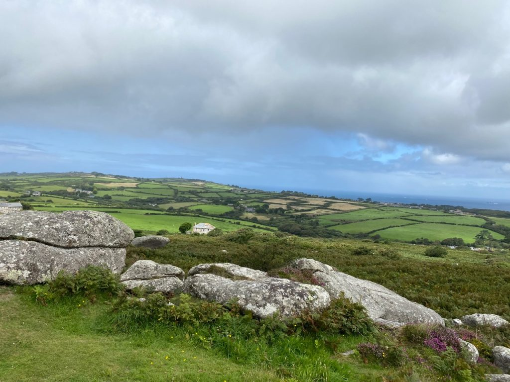
Our next destination, Trencom hill was now in our sights.
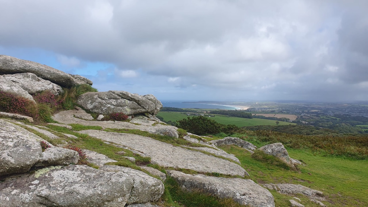
The path skirts to the left hand side of the hill and old iron age fort. We took a detour to climb to the top of the 170 metre peak.
The views of both north and south coast were impressive.
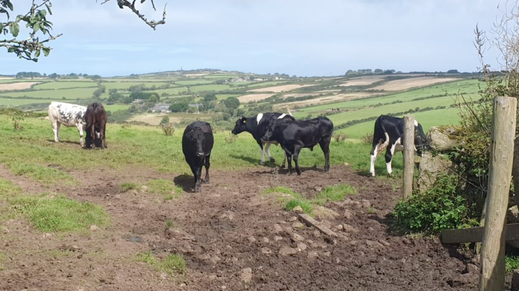
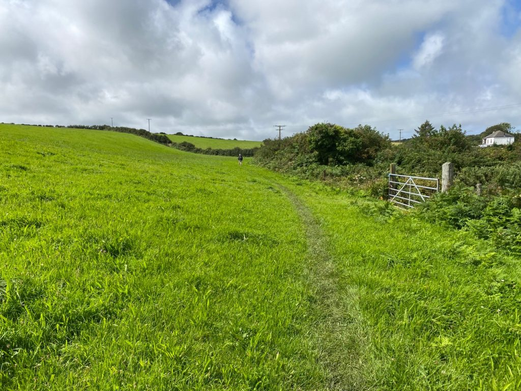
The next stretch of the walk took us through meadows and fields.

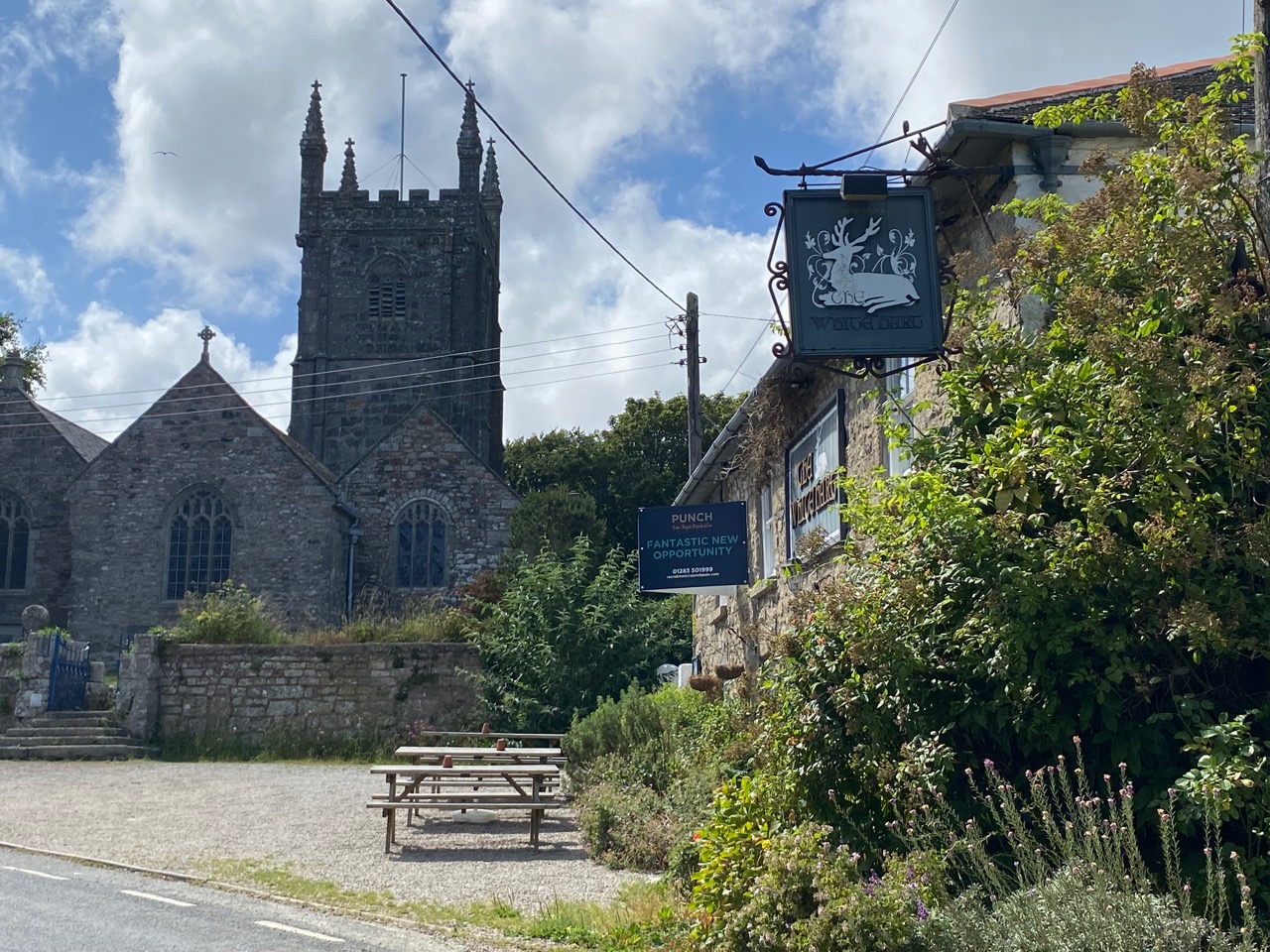
After another mile or so the path dips down to cross the Red River via a pretty ford and footbridge.Leaving the river (which is more of a stream really) the road climbs and then sharply cuts back to the left. Heading southwards again the path eventually leads you to the village of Ludgvan, whose church spire can be seen from afar.
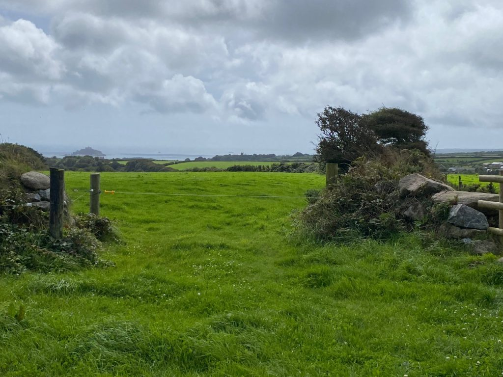
From Ludgvan there are options. The most direct route to the Marazion and the coast lead directly south from the village via Marazion marshes bird sanctuary. Taking this route means crossing the busy A30 and A394 road.
We therefore chose an alternative route. We left Ludgvan following a lane southwards towards the hamlet of Eglos. At Eglos Farm the road bends leftwards. We carried straight on, along the marked footpath.
Within ten minutes we reached the impressive Tremenheere Sculpture Park.
Here we joined the lane heading southwards. After 200 metres or so it met another lane where we turned right, following the signs to Gulval.
After ten minutes we then turned left onto a smaller lane. This led to a footbridge over the busy approach road to Penzance. We walked through a small industrial estate and into the village of Longrock.
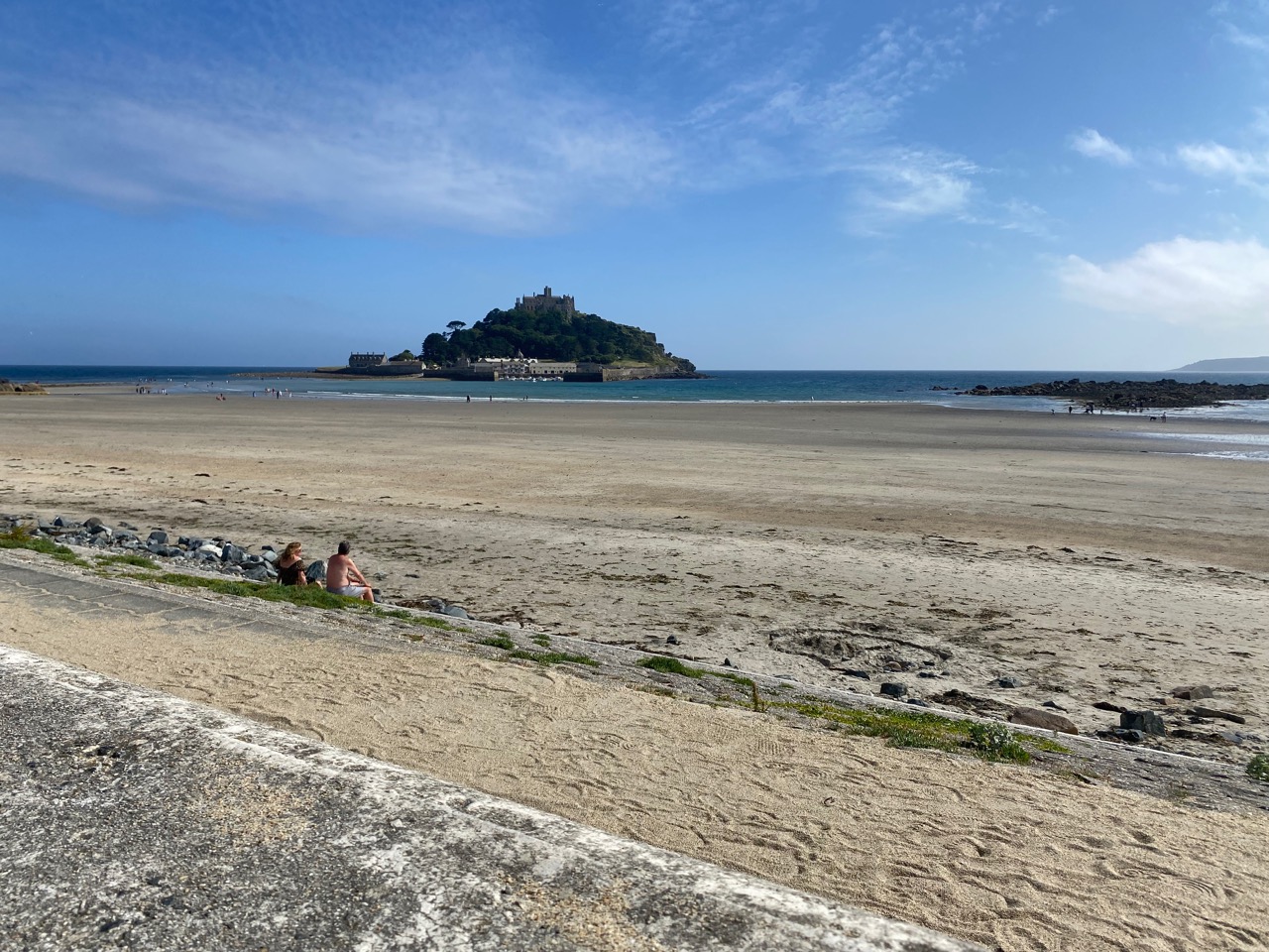
From here, Marazion and St Michaels Mount can easily be reached either by crossing the railway and following the coastal path eastwards or by walking through Longrock and then turning half-right and then over a road bridge to cross the railway line before reaching Marazion itself.
You may also enjoy these blog posts featuring West Penwith;